

Surrey Walks

Bushy Park Walks and Map

Bushy Park walk, Surrey
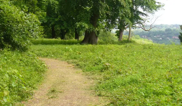
Bushy Park · Photo: N Chadwick

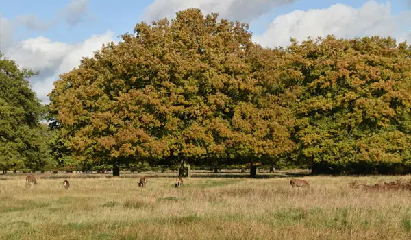
We have three routes in the beautiful royal Bushy Park, on the London/Surrey border. You can opt for a short stroll or explore the whole park, it’s a natural treasure trove with fountains, woodlands, historic landmarks and diverse wildlife. Choose one of our walk options and spend time relaxing in the great outdoors.

Download the Surrey Walks App to follow these routes with real-time GPS navigation.

Download on the App Store Get it on Google Play

On a computer? Scan the QR code with your phone's camera to get the Surrey Walks app.

Walk information

Bushy Park Walk 1

Walk distance
½ miles
Time
30 mins
Route type
Circular

Bushy Park is a wonderful 450 hectare park on the Surrey and Greater London border and it is the second biggest of London's Royal parks.

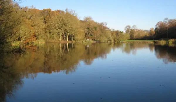
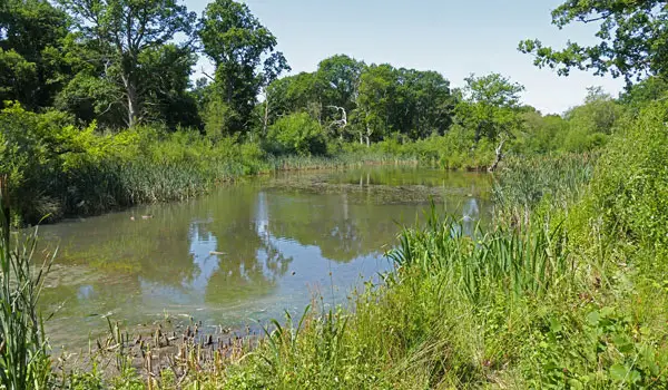
This first option is a very short stroll within the park that takes you for a walk around the pretty Heron Pond. The paths on this route are solid and suitable for wheels.
Walk information

Bushy Park Walk 2

Walk distance
2¼ miles
Time
1 hour
Route type
Circular

If you have a bit more time to explore the lovely Bushy Park, then this second route is a longer adventure that also has solid paths throughout that are suitable for wheels.

This route also enjoys the ponds of the park from the first route, but it then takes you on a stroll along the Cobbler's Walk path and then on a meander through the beautiful Woodland Gardens.

Refreshments:

The Pheasantry, Bushy Park

Walk information

Bushy Park Walk 3

Walk distance
5¼ miles
Time
2.5 hours
Route type
Circular

If you really want to explore the wonderful Bushy Park, then this third route is basically one long adventure that explores all corners of the park.

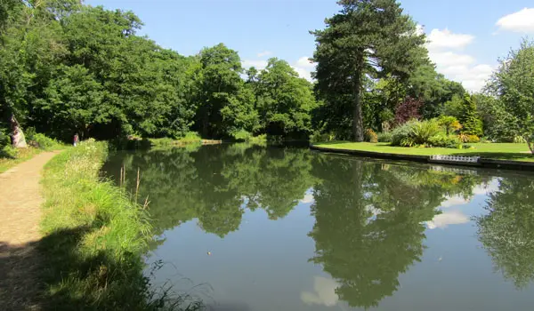
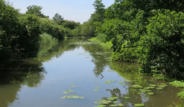
As well as the ponds, Cobbler's walk and Woodland gardens from the second route, you'll also enjoy a walk alongside the Longford River, a visit to the pretty Water Gardens, a stroll past the totem pole at the Waterhouse Pond and a little diversion out of the park to the Hampton Hill High Street where you'll find various pubs and eateries.

Refreshments:

The Pheasantry, Bushy Park

Various Eateries, Hampton Hill

These Bushy Park walks start at grid reference: 51.411638,-0.333563

Navigate the walks

Surrey Walks App

Follow the Bushy Park walks with GPS guidance

It's like sat-nav, but for footpaths.

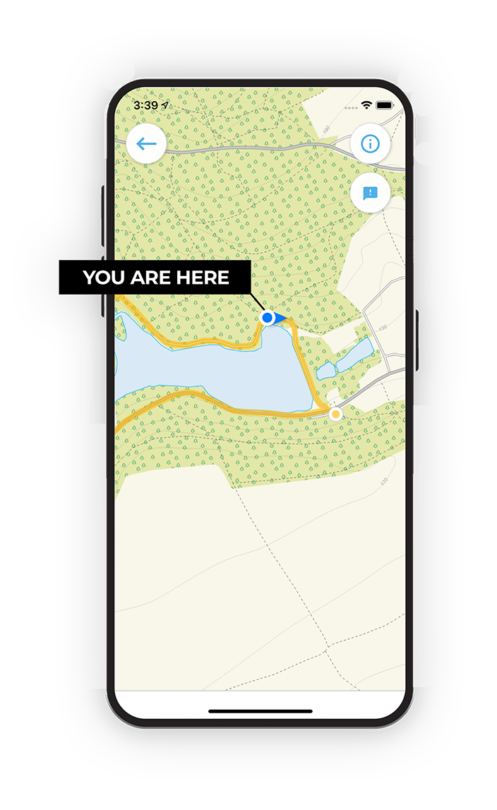
Choose a walk and follow the pointer showing your live position on the route map, so you always know you're on the right path.

The app works without a phone signal, so you can keep following the route wherever the walk takes you.

Download the app

Download on the App Store Get it on Google Play

On a computer? Scan the QR code with your phone's camera to get the Surrey Walks app.

Surrey Walks app showing the walker's live position on a route map

Designed to be simple

  • Choose a walk and follow the pointer
  • See your live position on the route map
  • Works without a phone signal
  • Includes 150+ Surrey walks
  • Free one-month trial
  • Available for iPhone and Android

Explore the area

Nearby walks

Explore the county

Surrey walks map

Map data © OpenStreetMap contributors

Search Surrey walks

See where the walks start, explore the area and tap a pin to find a route for your next adventure.

Search Surrey walks
Expanded route map for Bushy Park Walk 1, a 0.5 mile circular walk in Surrey