Derbyshire Walks

Walks around Hathersage, plus a route map

Hathersage walk, Derbyshire
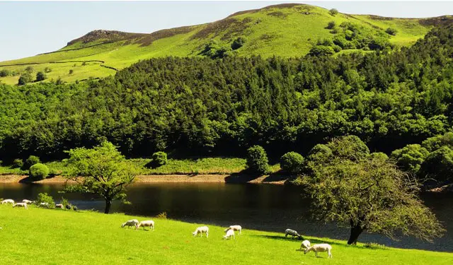
Hathersage · Photo: Graham Hogg

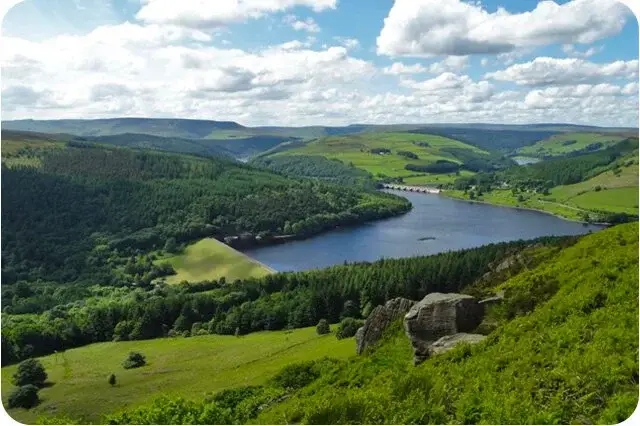
Hathersage is a village in the picturesque Derwent Valley and located within the Peak District National Park.

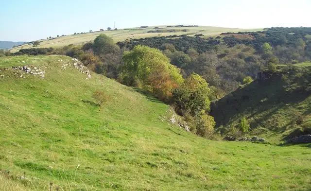
Hathersage is a popular place to visit and a good base to explore a range of walks. We have three walks around Hathersage on the Derbyshire Walks app which explore the village and surrounding area, including the local woodland, Carhead Rocks and a hike to Higger Tor.

Download the Derbyshire Walks App to follow these routes with real-time GPS navigation.

Download on the App Store Get it on Google Play

On a computer? Scan the QR code with your phone's camera to get the Derbyshire Walks app.

Hathersage walk 01

Hathersage

Walk distance
3 miles
Time
1.5 hours
Route type
Circular

This first walk is a short but strenuous walk from the lovely village of Hathersage.

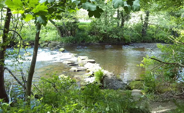
You'll enjoy the village itself, the woodland of Birchin Wood and some pretty Derbyshire countryside on the walk.

There's a fair amount of climbing on the walk, so you'll need a fair amount of energy and you'll also certainly work up an appetite for your return to the village where there are a number of options of refreshments.

Hathersage walk 02

Hathersage

Walk distance
4½ miles
Time
2 hours
Route type
Circular

If you have more energy for a real adventure, the second route is a longer walk that climbs further up into the gorgeous countryside and scenery to the north of the village.

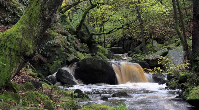
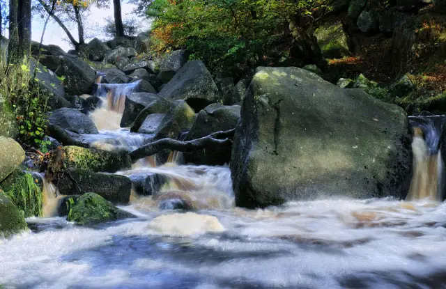
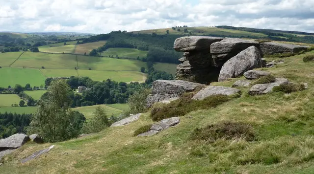
On this walk you'll enjoy a wonderful stretch of walking along the majestic Carhead Rocks, a walk through some woodland as you track the Hood Brook and lots of pretty open countryside with beautiful views as you work your way back down the hills towards the village.

The Carhead Rocks are very rugged, so please be careful on this section of the walk and make sure you have suitable footwear.

Hathersage walk 03

Hathersage and Higger Tor walk

Walk distance
7¼ miles
Time
3.5 hours
Route type
Circular

If you want a truly epic adventure, then this third route option is an even longer and even more strenuous walk that's full of wonderful landscapes within the peak district national park.

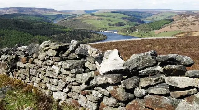
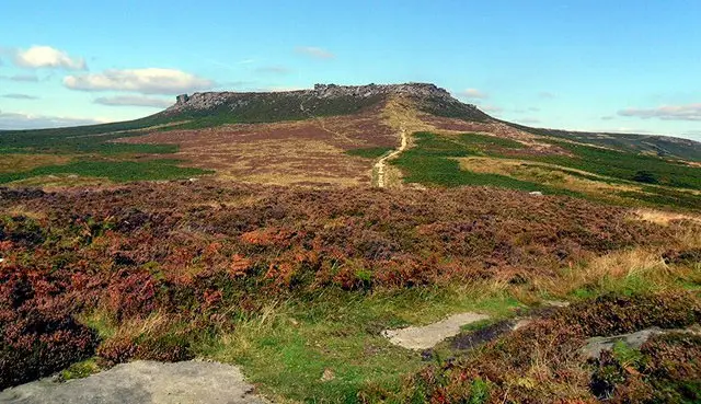
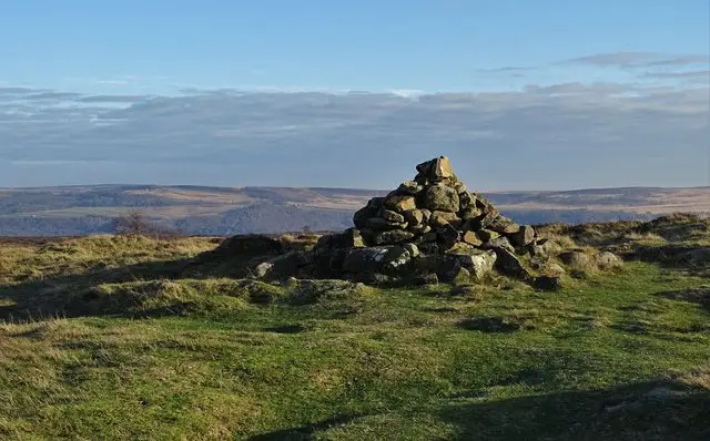
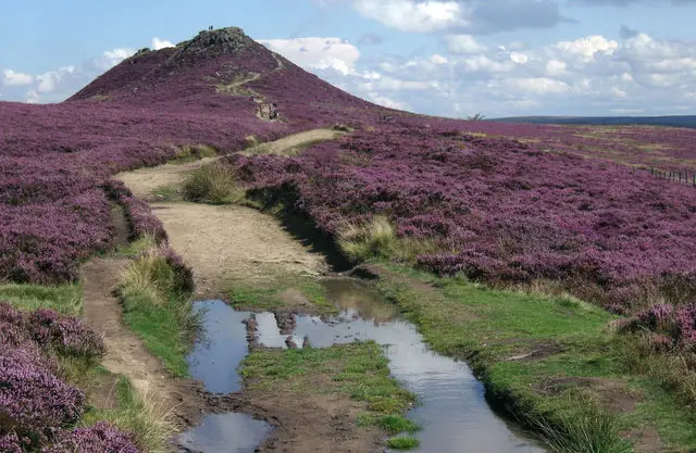
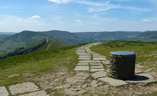
The walk takes you out to the east of the village on a long climb that takes you to the summit of the iconic Higger Tor. After enjoying that peak, you head off to the north towards Upper Burbage Bridge before heading west towards the White Path Moss.

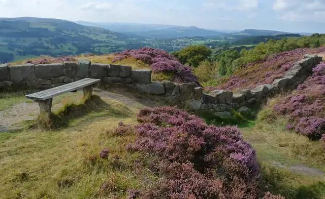
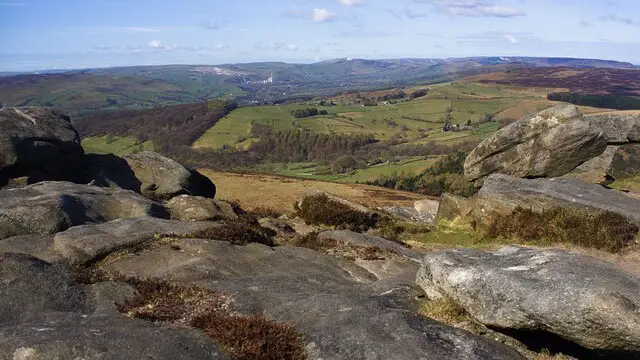
After that you'll walk along the top of the dramatic Stanage Edge rocks which offers you truly wonderful views of the whole region. Of course, the rocks are very high and dangerous, so be very careful along this whole stretch of walking.

After all of that adventure, you'll then head back down, through gorgeous countryside, until you reach the village with its lovely pubs and eateries for well earned refreshments.

Please note that there is a short bit of walking along a fast road on the first section as you head towards Higger Tor, so please be careful there.

Additionally, as with any of the more wild walks in the peaks, please make sure you have the appropriate clothing and footwear for your walk, be very careful when close to any cliff edges, and do not attempt dangerous walks in bad weather.

These Hathersage walks start at grid reference: 53.328916,-1.653991

Navigate the walks

Derbyshire Walks App

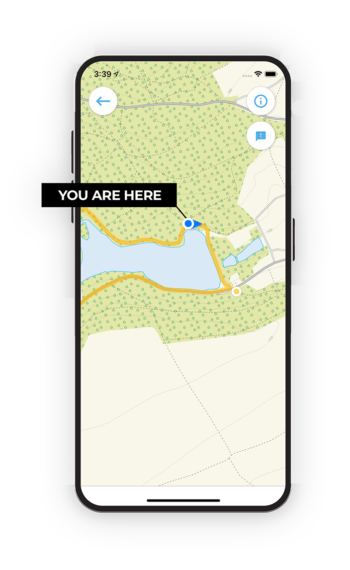
Follow the Hathersage walks with GPS guidance

It's like sat-nav, but for footpaths.

Choose a walk and follow the pointer showing your live position on the route map, so you always know you're on the right path.

The app works without a phone signal, so you can keep following the route wherever the walk takes you.

Download the app

Download on the App Store Get it on Google Play

On a computer? Scan the QR code with your phone's camera to get the Derbyshire Walks app.

Derbyshire Walks app showing the walker's live position on a route map

Designed to be simple

  • Choose a walk and follow the pointer
  • See your live position on the route map
  • Works without a phone signal
  • Includes 250 Derbyshire walks
  • Free one-month trial
  • Available for iPhone and Android

Explore the area

Nearby walks

Explore the county

Derbyshire walks map

Map data © OpenStreetMap contributors

Search Derbyshire walks

See where the walks start, explore the area and tap a pin to find a route for your next adventure.

Search Derbyshire walks
Expanded route map for Hathersage, a 3 mile circular walk in Derbyshire