

Staffordshire Walks

Blithfield Reservoir Walk and Map

Blithfield walk, Staffordshire
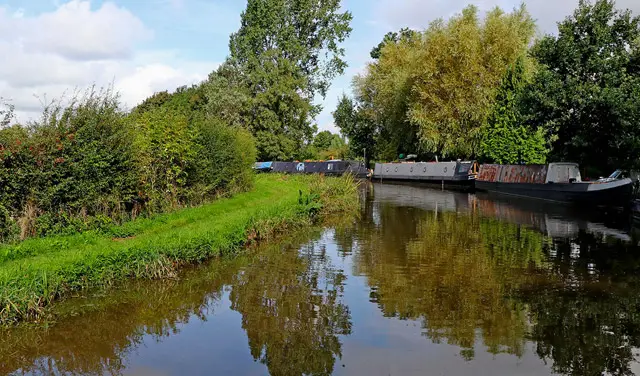
Blithfield · Photo: Mick Malpass

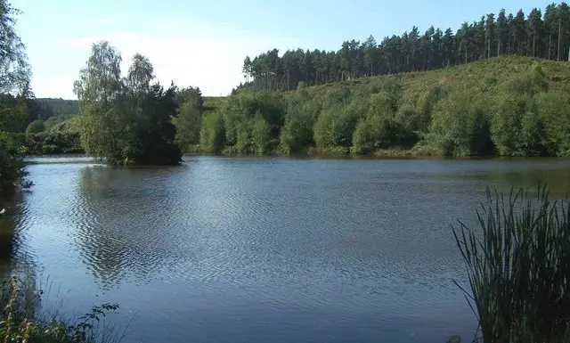
Blithfield Reservoir is located near Rugeley in Staffordshire and is a beautiful 800 acre lake surrounded by scenic hills and ancient woodland.

The reservoir is a popular location for walkers and water sports enthusiasts and has a variety of habitats and wildlife for nature lovers.

There are 4 walks around Blithfield Reservoir on the Staffordshire Walks App

Download the Staffordshire Walks App to follow this route with real-time GPS navigation.

Download on the App Store Get it on Google Play

Walk information

Blithfield Reservoir walk


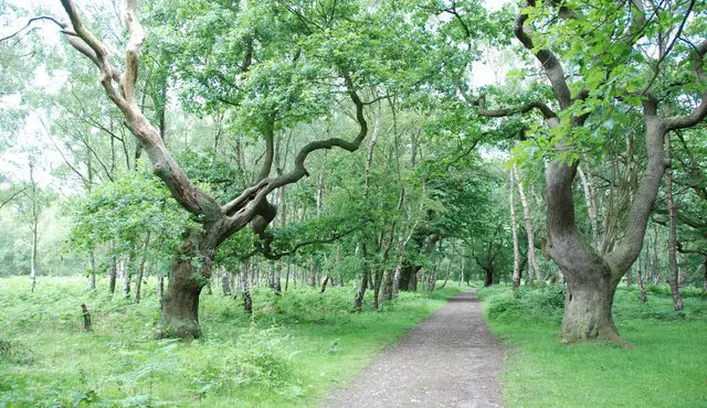
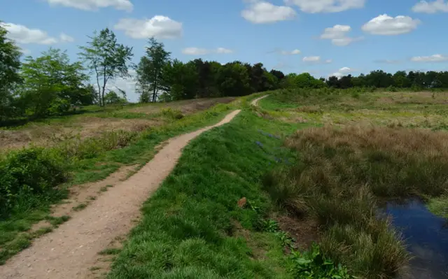
Blithfield Reservoir has a number of lovely walking routes to explore and the first is an easy family friendly 1.25 mile wander along the 'blue route'. This walk takes you along woodland paths and give you the chance to spot different birds and wildlife. This walk also has the option to go to the bird feeder and hide.

Walk two follows the ‘red route’ and is 1.75 miles long. It starts at the Blithfield Reservoir car park and explores the wetland.

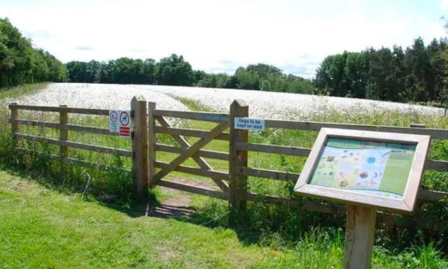
The third Blithfield Reservoir walk is 2.75 miles long and takes you along the 'blue route'. This walk continues to the 'yellow route' and explores Stanley Wood where you can find a beautiful bluebell wood and wildflower meadow in spring and early summer.

As an alternative starting point, we have another 3.5 mile walk that takes you to Blithfield Reservoir but also includes a village which has a range of pubs for refreshments. This walk starts at the Staffordshire village of Abbots Bromley and eventually takes you to Blithfield Reservoir before looping back to the village.
This Blithfield walk starts at grid reference: 52.831543,-1.920207

Navigate the walks

Staffordshire Walks App

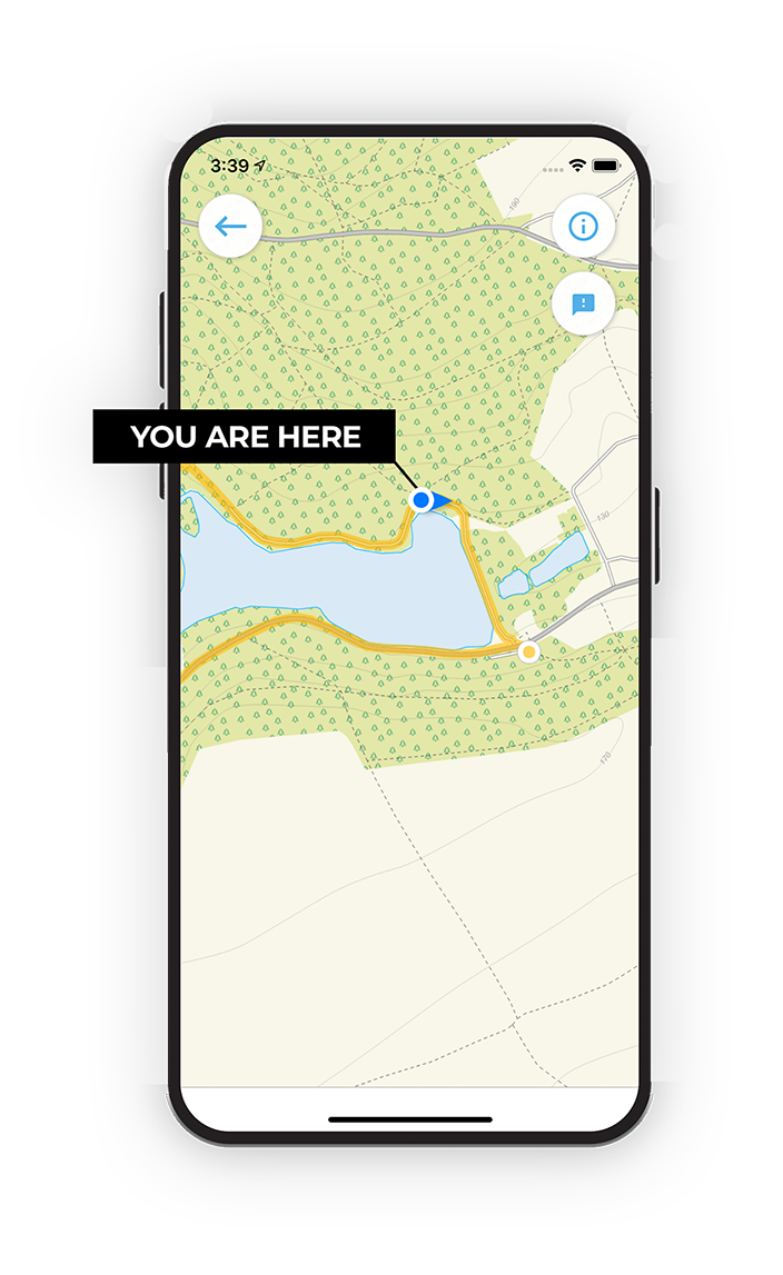
Follow the Blithfield walk with GPS guidance

It's like sat-nav, but for footpaths.

Choose a walk and follow the pointer showing your live position on the route map, so you always know you're on the right path.

The app works without a phone signal, so you can keep following the route wherever the walk takes you.

Download the app

Download on the App Store Get it on Google Play
Staffordshire Walks app showing the walker's live position on a route map

Designed to be simple

  • Choose a walk and follow the pointer
  • See your live position on the route map
  • Works without a phone signal
  • Includes 150+ Staffordshire walks
  • Free one-month trial
  • Available for iPhone and Android

Explore the area

Nearby walks

Explore the county

Staffordshire walks map

Map data © OpenStreetMap contributors

Search Staffordshire walks

See where the walks start, explore the area and tap a pin to find a route for your next adventure.

Search Staffordshire walks
Expanded route map for Blithfield Reservoir walk, a 1.25 mile circular walk in Staffordshire