Castle Ring Cannock Chase Walk and Map
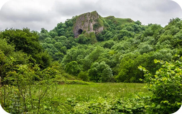
Castle Ring is an ancient monument which is over 2,000 years old and one of at least seven hill forts in Staffordshire. It's a Green Flag Heritage Award winning site and the highest point on Cannock Chase at 240m above sea level. It's also home to an abundance of wildlife. Take a look at the map below and download the Staffordshire Walks app which will show your position on the map as you walk.
150+ walks in Staffordshire. Download the app to see your position on the map as you walk.

Photo © Colin Park (cc-by-sa/2.0)
Castle Ring, Cannock Chase
Castle Ring Walk 1
0.5 miles
We have two walks around Castle Ring on the app. Although this first walk is very short, it's worth the visit. The map we have included is for the longer walk below, allowing you to explore Cannock Chase further.
Castle Ring Walk 2
3.75 miles
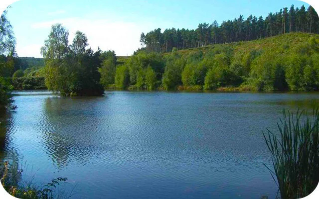
If you decide that you want more than just a walk around the ancient Castle Ring, this is a longer and more energetic walk that still enjoys the castle site, but also takes you deep into the forest, strolls past streams and Fairoak Pools and climbs up hills for some good exercise.
Castle Ring Cannock Chase Walk Map
Download the Staffordshire Walks app to see your position on the map as you walk.

© OpenStreetMap contributors
Contains OS data © Crown copyright and database right 2021


