

Staffordshire Walks

Manifold Valley Walks and Map

Manifold Valley Walks
Hulme End Walks · Photo: Mark Percy

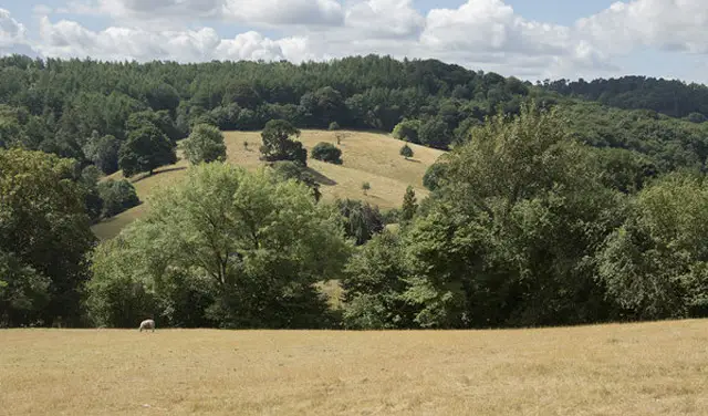
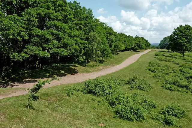
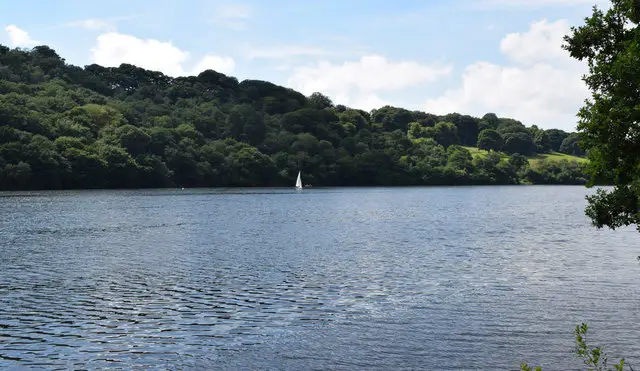
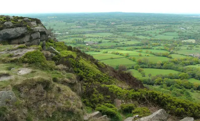
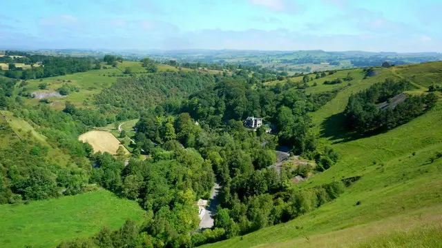
Manifold Valley is a beautiful, deep limestone wooded valley that follows the old disused Leek and Manifold Light Railway and parts of the River Manifold. This area is popular with walkers and we have lots of Manifold Valley walks starting from either Hulme End or Weag’s Bridge. Take a look at the maps below to see our Manifold Valley routes on the app.

The first three Manifold Valley walks start from Hulme End, Staffordshire. The second four walks on the app start from Weag’s Bridge a bit further along the Manifold Track.

Download the Staffordshire Walks App to follow these routes with real-time GPS navigation.

Download on the App Store Get it on Google Play

On a computer? Scan the QR code with your phone's camera to get the Staffordshire Walks app.

Walk distance
2½ miles
Time
1.5 hours
Route type
Circular

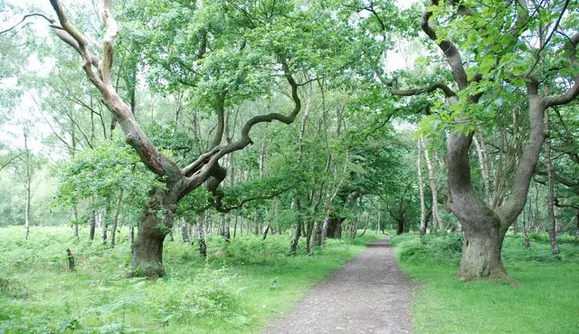
Hulme End is a small hamlet close to the county borders of Staffordshire and Derbyshire that gives you easy access to the beautiful Manifold valley. This first walk follows the route of the Manifold River along the valley and loops back through the countryside and along pretty lanes. As this is a hilly area, please be prepared, you will need lots of energy and there are some steep inclines. There is also a diversion at the start/end that takes you past a tea room and to a pub.
View the walk and route map
Walk distance
3¾ miles
Time
2.5 hours
Route type
Circular

The second walk from Hulme End is an extension of the first for those who want to explore the Manifold Valley further. This route also follows the Manifold Way and takes you up and around the back of Ecton Hill and back along country lanes and through the scenic countryside. Like the first walk, please be prepared, there are some steep inclines.

View the walk and route map
Walk distance
5½ miles
Time
3 hours
Route type
Circular

The third route is a wonderful energetic walk and epic adventure. This route also follows the scenic Manifold Way, but you also get to enjoy a lot more riverside walking and visit the Wetton Mill which is owned by the National Trust and has a tea room if you fancy a half way break. This walk will reward you with beautiful valley scenery but be prepared, it has some steep inclines. There is also some walking along country lanes and a pub is located at the end for well earned refreshments.

View the walk and route map
Walk distance
1¾ miles
Time
1 hour
Route type
Circular

This walk is our shortest walk from the Weag's Bridge car park and it takes you along a short section of the Manifold Track and loops back up and through lovely countryside back to the start. The Manifold Track is popular with walkers, cyclists and horse riders and follows the old disused Leek and Manifold Light Railway and parts of the River Manifold and River Hamps.

View the walk and route map
Walk distance
3 miles
Time
2 hours
Route type
Circular

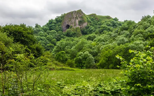
This second walk from Weag’s Bridge is a lovely circular walk that includes a longer section of the Manifold track and follows the route of the River Manifold as well as taking you across fields, open countryside and through the village of Grindon. We have also added a detour to the route which will take you to Thor's Cave which is a natural cavern located in a steep limestone crag. There are some hill climbs on this route.

View the walk and route map
Walk distance
4½ miles
Time
2.5 hours
Route type
Circular

This is our third walk from Weag's Bridge and it follows a wonderful stretch of the Manifold track, which snakes through the Manifold and Hamps Valleys. As you reach the end of the Manifold track section of this route, there is a delightful tea room but please check that it's open beforehand. The walk then takes you back through fields, quiet lanes/tracks and open countryside. There are some hill climbs on this route.

View the walk and route map
Walk distance
6½ miles
Time
3.5 hours
Route type
Circular

Our final Manifold Valley walk from Weag's Bridge is another wonderful but strenuous adventure in this lovely area. If you head anticlockwise on this route it takes up all the way south along the wonderful Manifold track until you nearly reach the village of Calton before then looping back through glorious undulating countryside, visiting the ruins of Throwley Old Hall on the way. There are a lot of hills on the route, so please go prepared with appropriate footwear and refreshments.

We also have a few Thor’s Cave walks which you can find out about here.

View the walk and route map

Navigate the walks

Staffordshire Walks App

Download the Staffordshire Walks app

It's like sat-nav, but for footpaths.

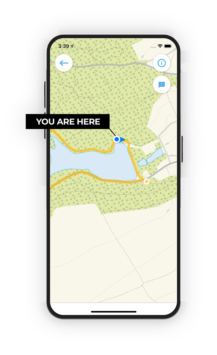
Choose a walk and follow the pointer showing your live position on the route map, so you always know you're on the right path.

The app works without a phone signal, so you can keep following the route wherever the walk takes you.

Download the app

Download on the App Store Get it on Google Play

On a computer? Scan the QR code with your phone's camera to get the Staffordshire Walks app.

Staffordshire Walks app showing the walker's live position on a route map

Designed to be simple

  • Choose a walk and follow the pointer
  • See your live position on the route map
  • Works without a phone signal
  • Includes 150+ Staffordshire walks
  • Free one-month trial
  • Available for iPhone and Android

Explore the county

Staffordshire walks map

Map data © OpenStreetMap contributors

Search Staffordshire walks

See where the walks start, explore the area and tap a pin to find a route for your next adventure.

Search Staffordshire walks
Expanded route map for Manifold Valley - Hulme End Walk 1